GENEVIEVE ROBERTSON
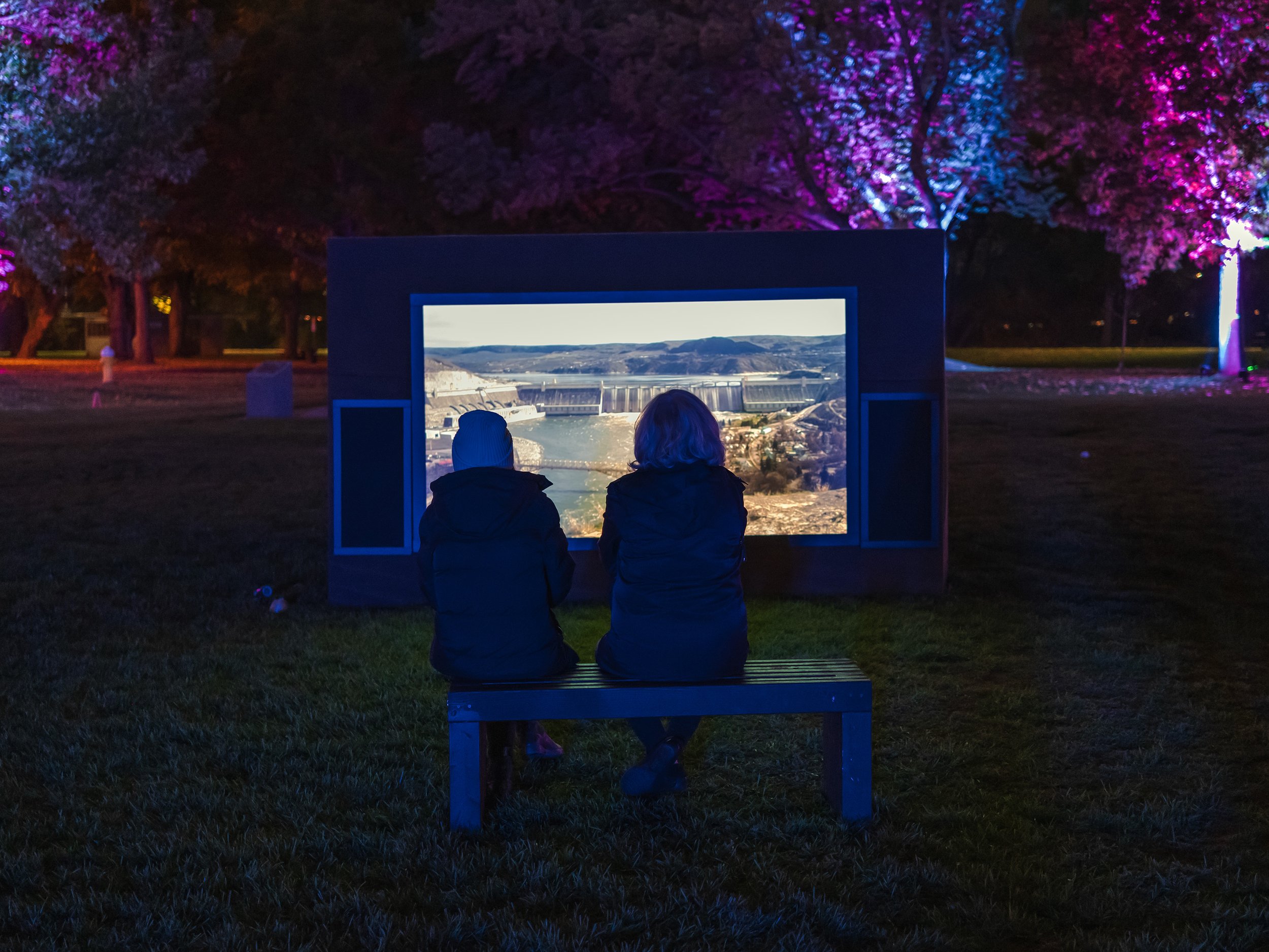
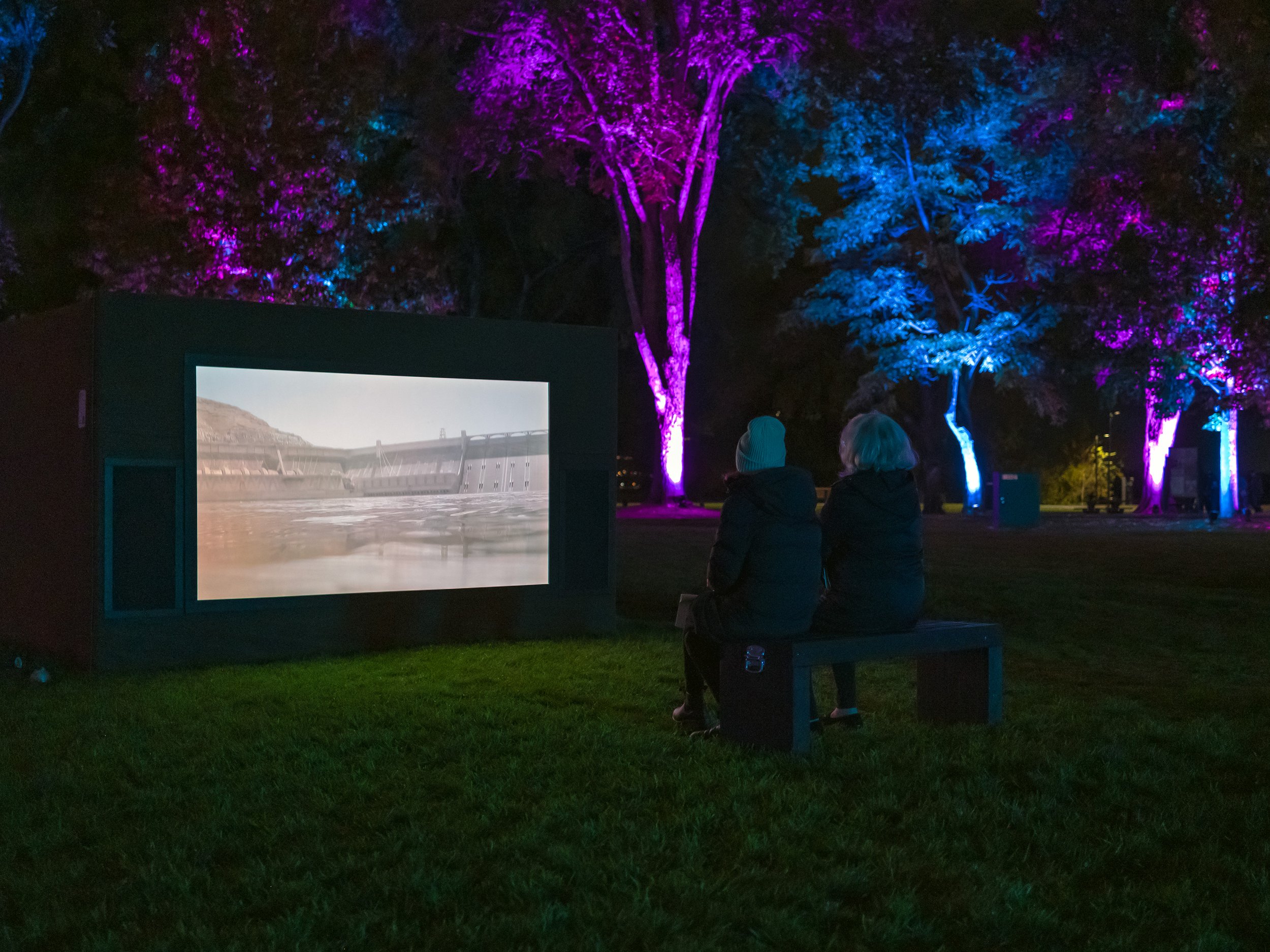
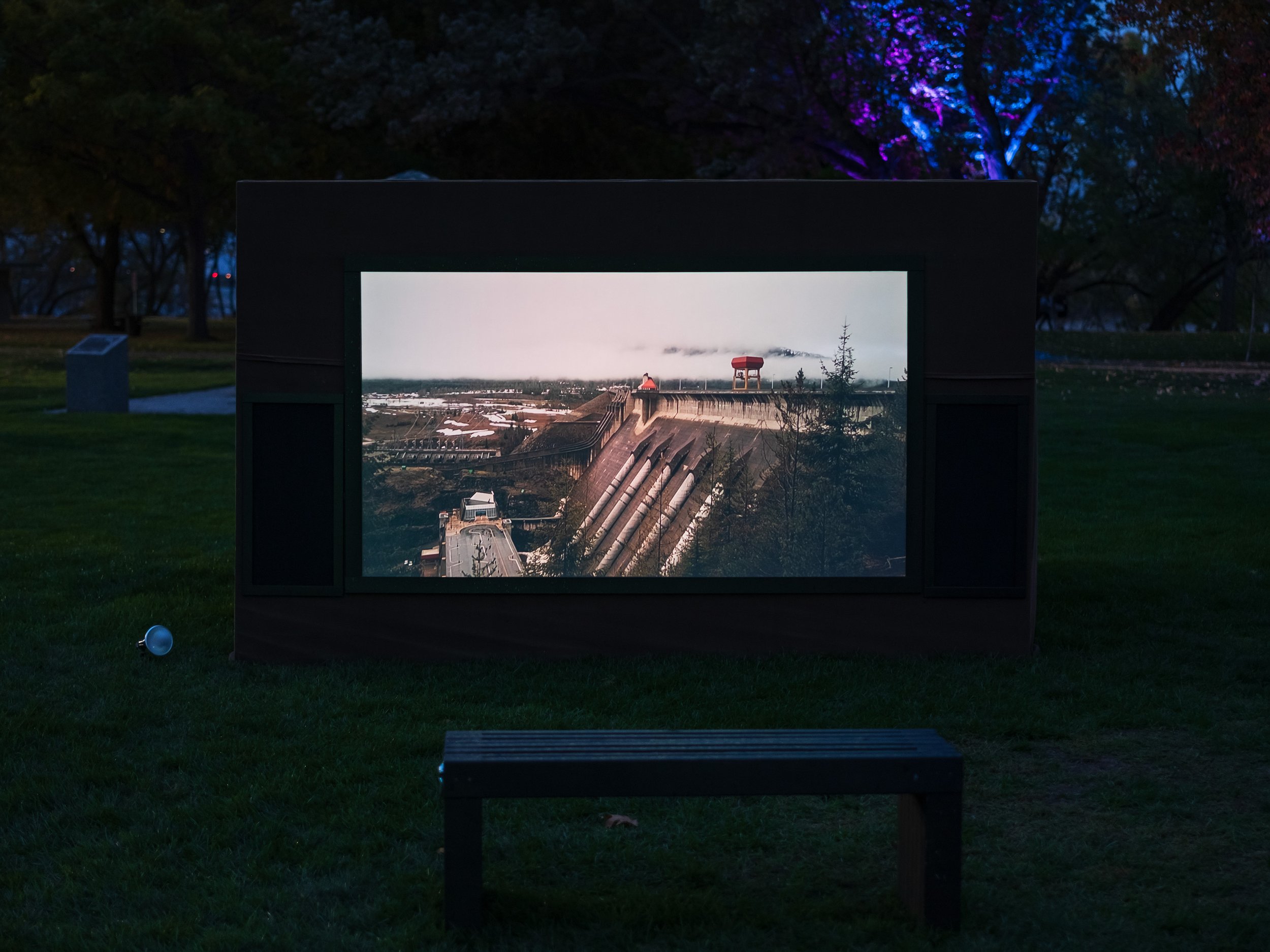
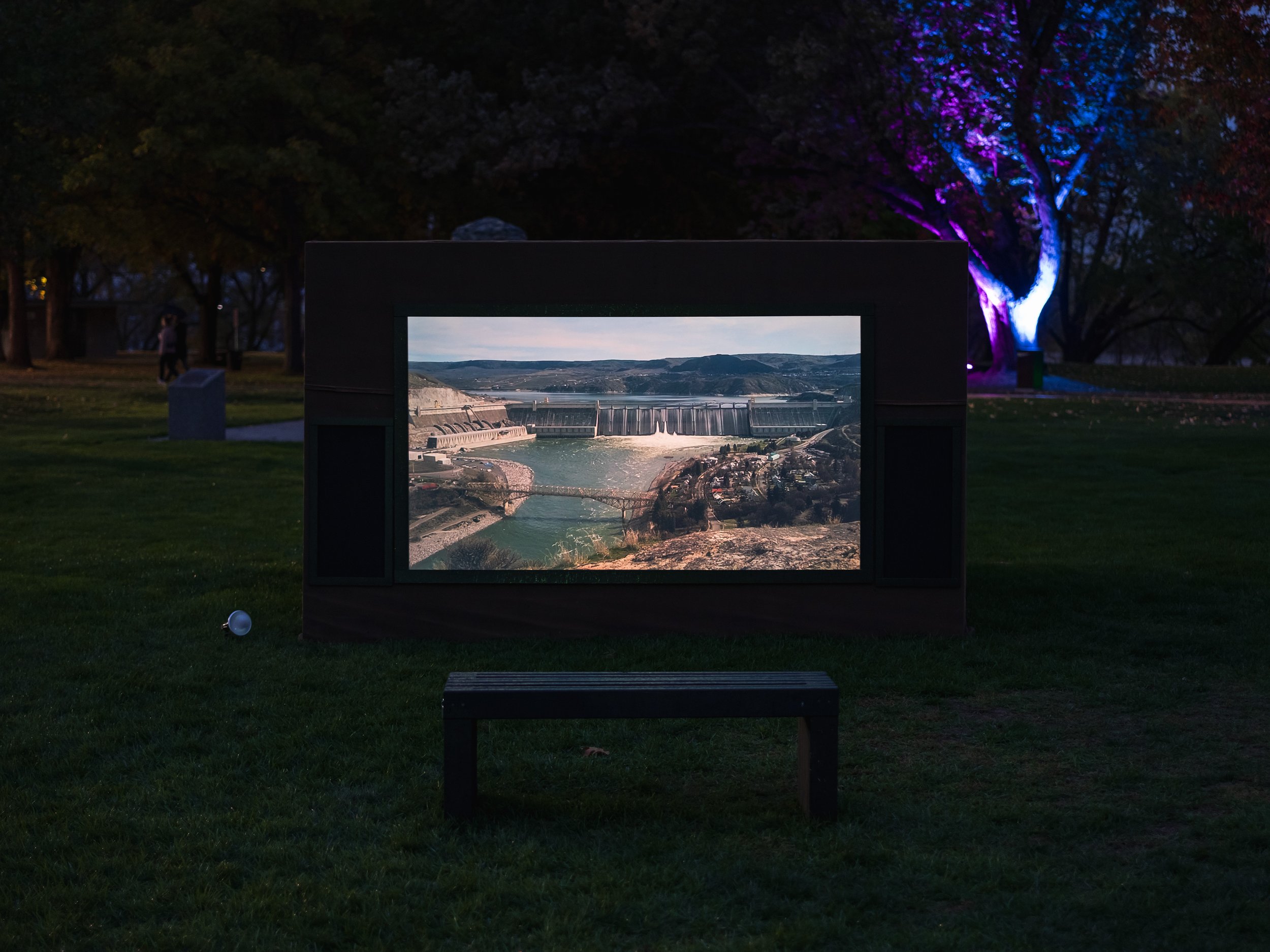
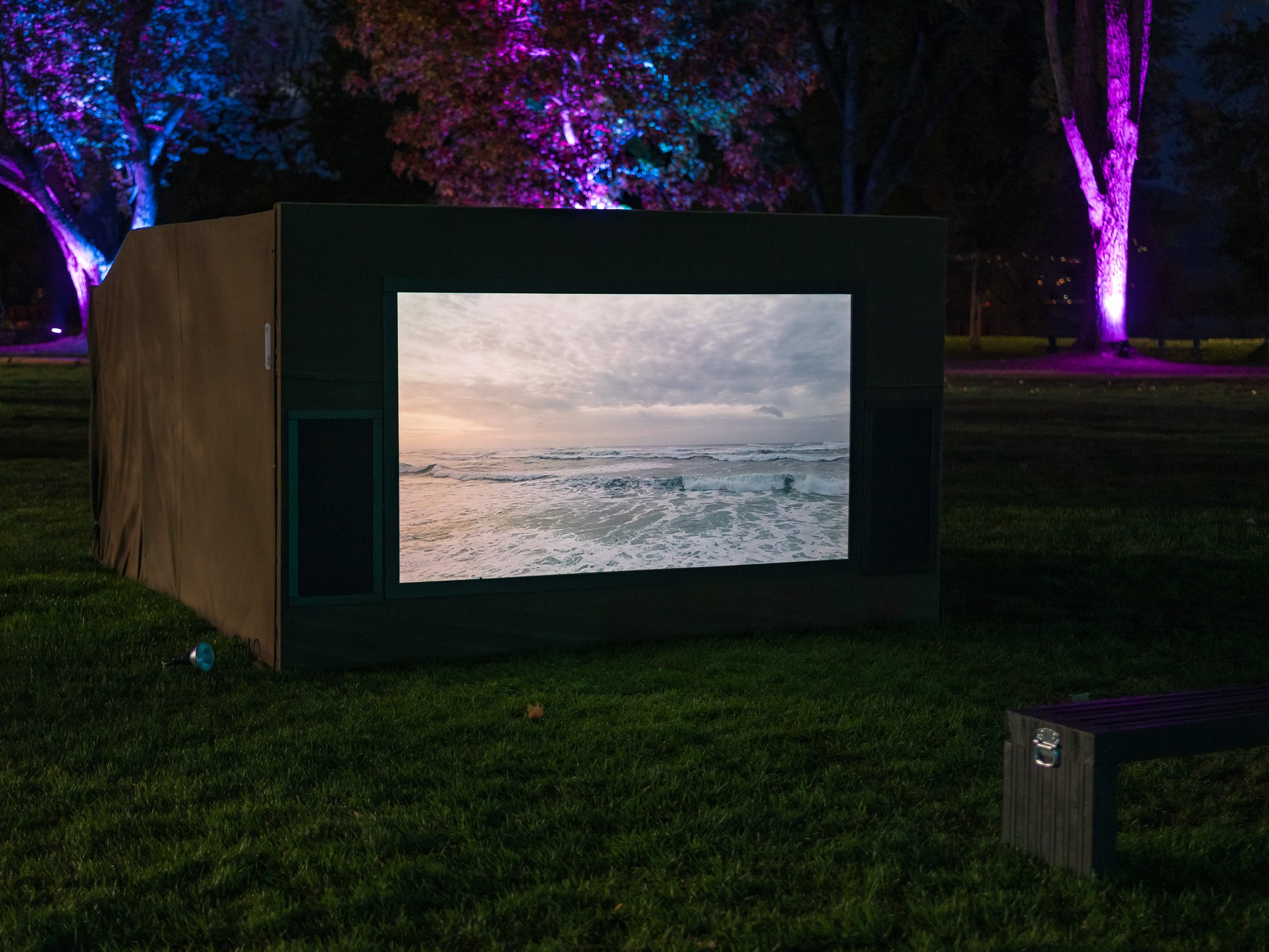
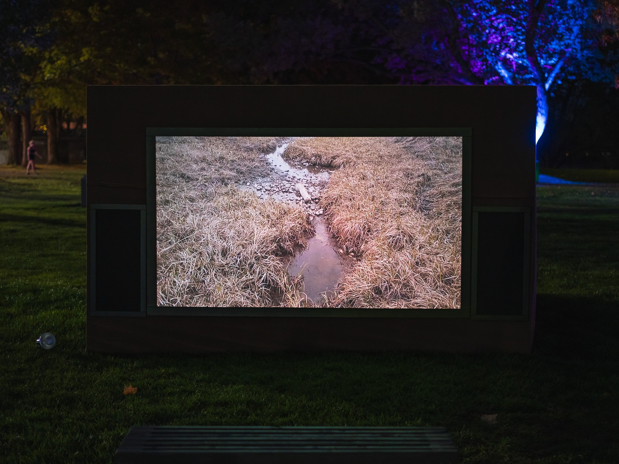
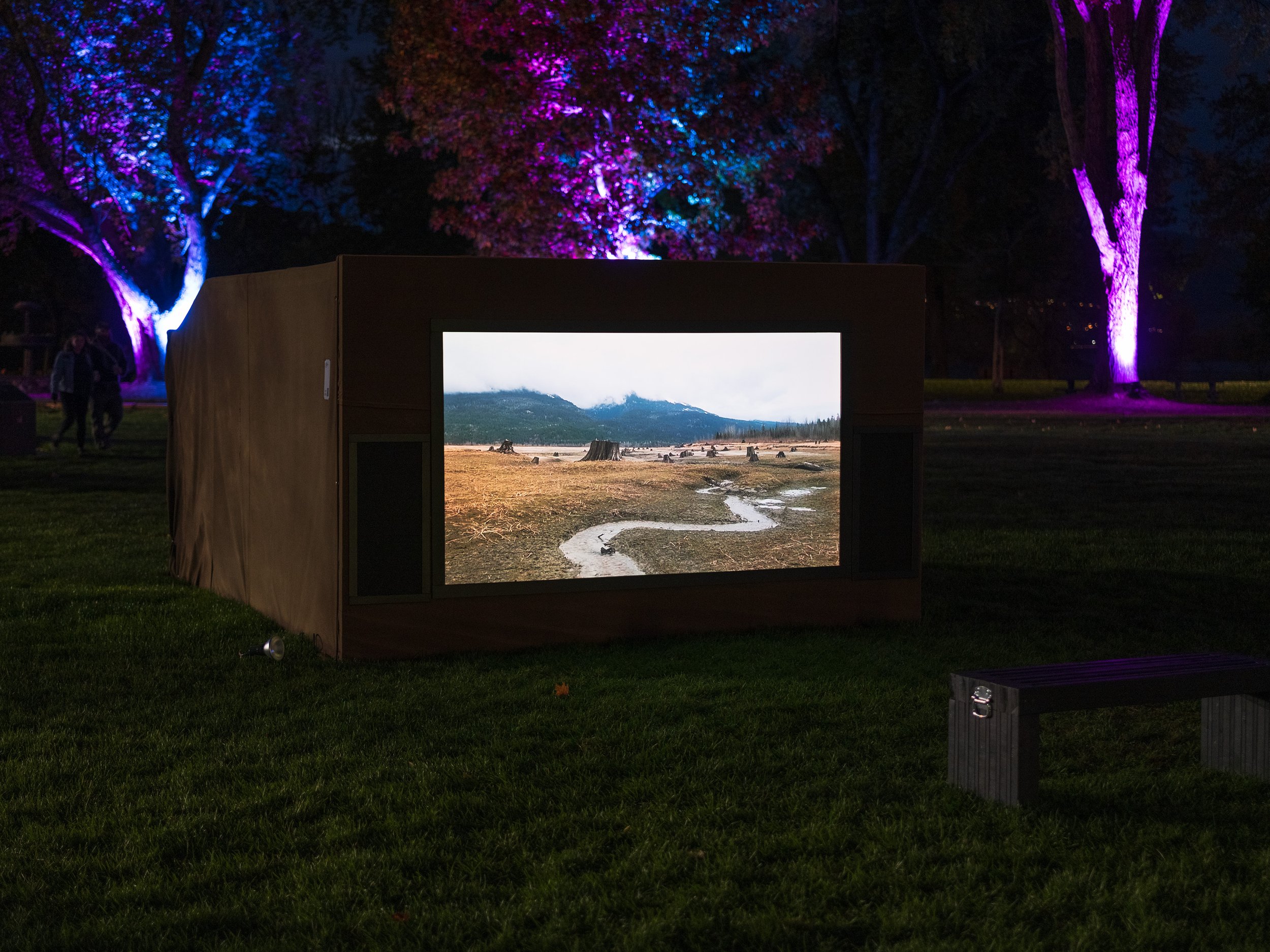
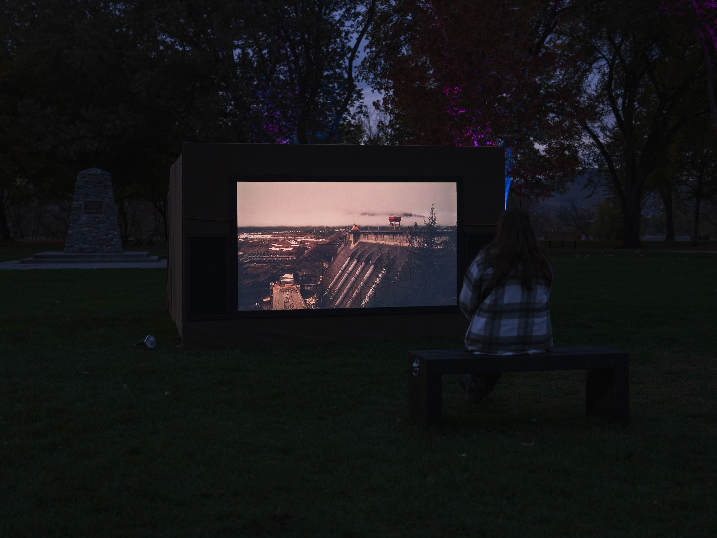
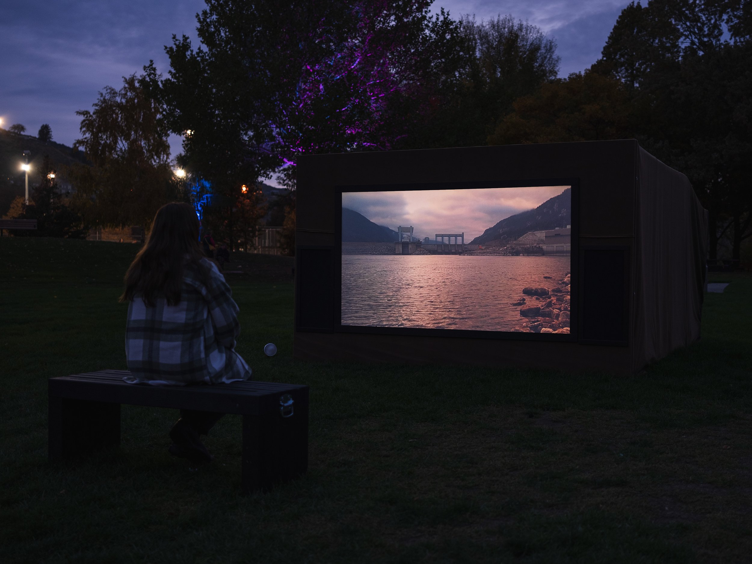
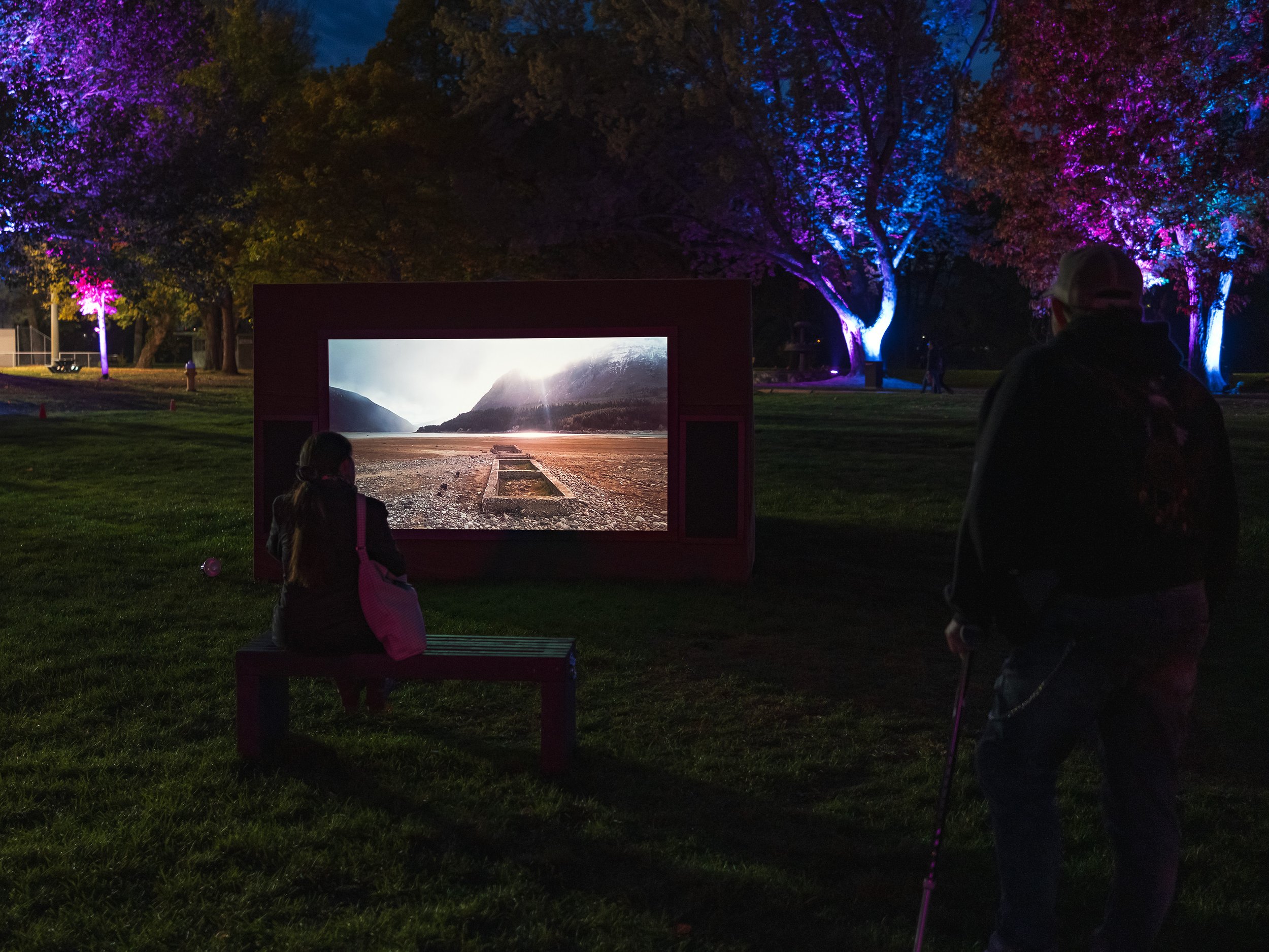
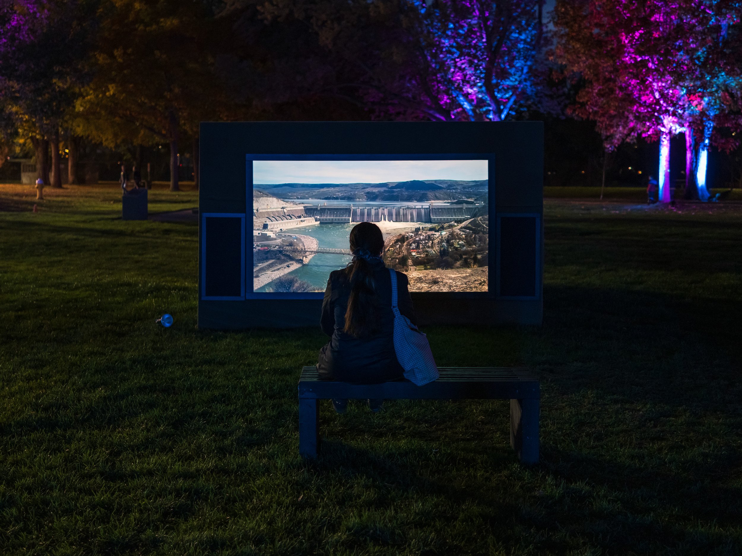
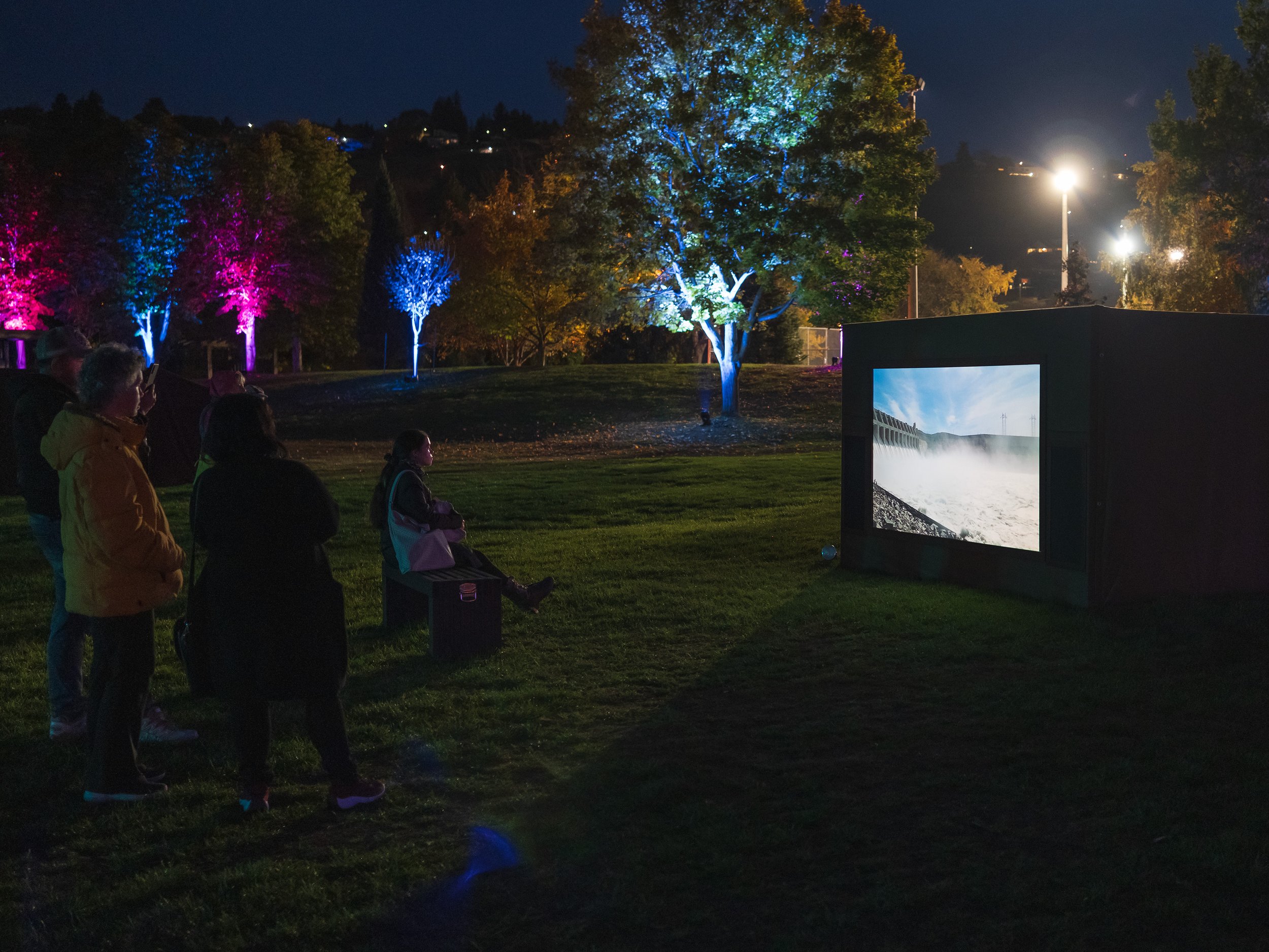
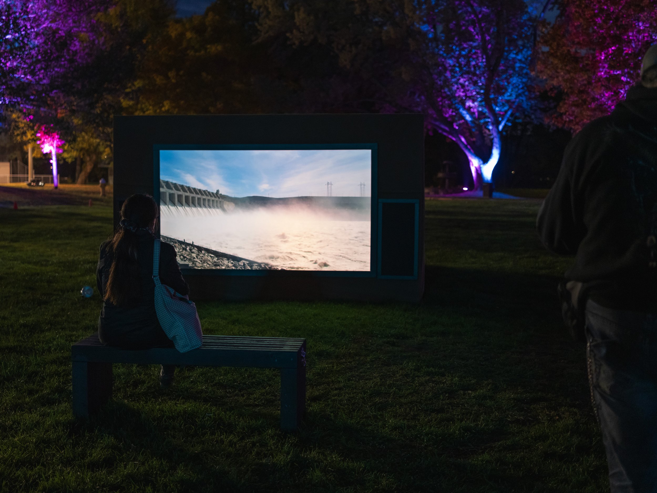
Still Running Water, 2017-2019
single channel HD video
12 minutes
Riverside Park
Still Running Water follows the Columbia River over nearly 2,000 kilometres from a spring west of the Kootenay Glacier in southeastern British Columbia, to Astoria, Oregon, where it connects with the Pacific Ocean. At the river’s source spring, water gently gurgles up from blue-grey mud, past bunch grass and wild camus, eventually sending rivulets of silt towards the sea. The Columbia River is over six kilometres wide at the mouth and is known as one of the most hazardous waterways to navigate in the world. This massive river runs through the heart of many interrelated Indigenous cosmologies and was historically one of the most ecologically (and spiritually) important salmon-bearing rivers in the Pacific Northwest. It is also home to 14 hydroelectric dams on the main stem and over 400 in the entire Columbia River watershed. The dams—in BC, Washington, and Oregon—are heralded for energy production, flood control, irrigation, and navigation for inland freight. However, their efficiency has also incurred irreversible ecological and cultural costs. These massive structures have irrevocably reshaped the course of the river. The Columbia River water is monitored and monetized down to the millilitre, drastically altering both micro-and macro-ecological rhythms.
The hydropower projects have destroyed a culturally-invaluable steelhead and salmon fishery, reduced wildlife and wetland aquatic habitat, and greatly impacted the lives of many in the watershed, including numerous Indigenous nations. 1 Many communities were forcibly removed from their ancestral territories without meaningful consultation, and their cultural practices centred on the river. The dam constructions also flooded and desecrated many sacred burial sites and several culturally and spiritually important fishing and trading sites, including Celilo Falls in Oregon and Kettle Falls in Washington.
Still Running Water records the river from source to mouth: the monolithic dams, as well as the demolished townsites and flooded forests in the reservoirs behind them. While the filming process was an attempt to grasp the immense scale of the river and the complex geopolitical relationships playing out on its shores, these images are not meant to be exhaustive. Instead, they offer some reflections on the human hubris of large-scale industrial energy production and its impact on the Columbia River watershed. This project is a contribution to River Relations: A Beholder’s Share of the Columbia River, which was a two-year interdisciplinary artistic research project undertaken by a collective of artists, geographers, and poets between 2016 and 2018. 2 This research project responds to the extensive damming of the river and the renegotiation of the Columbia River Treaty.
Still Running Water is being produced at a timely moment. The treaty—between Canada and the United States, signed in 1961 and ratified in 1964—attempted to align divergent bi-national interests. It set the stage for further hydro development in both countries and granted the United States some management rights over the Canadian portion of the Columbia River for American energy and flood control needs. 3 While the treaty has provided notable economic, power-generation, and flood control benefits, at the time of ratification there was little value placed on either Indigenous territorial rights or ecological impact, and this is clear in the cultural and ecological losses that the upper Columbia basin region has faced. With flood-control provisions expiring in 2024, the treaty is now under active re-negotiation. The changes will affect the environmental and social well-being of the Columbia basin on both sides of the border, and hopefully address environmental issues such as upstream salmon migration, the health of wetland ecosystems, and nutrient flow. Other emerging issues include agricultural water shortages experienced in central Washington, Indigenous sovereignty, and shifting climate patterns due to global warming. It is presently unclear what kind of meaningful change will result from the re-negotiation.
Still Running Water bears witness to the impact of this political deal, and the development of hydropower along the Columbia at large, through a series of static video shots taken along the river over two years. The project does not assert a narrative structure, but rather allows the river and the changes impressed upon it to form a connective tissue. The artist asks, “How does this riverine geography emblematize broader issues of ethical watershed governance, Indigenous-settler relationships, and trans-border dynamics—as well as regional, national, and global futures for energy production?”
~ Text written by Genevieve Robertson for the Blackwood Gallery’s Broadsheet, “Shoring,” in Society for the Diffusion of Useful Knowledge, issue 04, May, 2019. 4
Artist Biography
Genevieve Robertson is an interdisciplinary artist with a background in environmental studies. Her drawings are often comprised of found organic materials collected on-site and map a visceral and long-term engagement with specific regions. Through recent research in the Kootenays, the Salish Sea, and the Fraser and Columbia Rivers, she has engaged with the complexities that emerge when relating to land and water in a time of large-scale industrial exploitation and climate precarity. Her process-based studio work is rooted in inquisitive conversation, long-term place-based exploration, and being out on the shoreline. Robertson has exhibited her work at the Morris and Helen Belkin Art Gallery at the University of British Columbia, Libby Leshgold Gallery at Emily Carr University of Art + Design, the Pensacola Museum, Touchstones Museum, Or Gallery, the New Gallery, and Walter Phillips Gallery. She holds a Masters of Fine Arts from Emily Carr University of Art + Design, 2016, and a Bachelor of Fine Arts from NSCAD University, 2009.
1. The Grand Coulee Dam, built between 1933 and 1942 in eastern Washington, cut off upstream salmon migration completely from the upper Columbia watershed. Chief Joseph Dam, constructed between 1950 and 1955 and located just downstream of Coulee, also blocks salmon passage.
2. This project involved Nick Conbere, Rita Wong, Fred Wah, John Holmgren, Emmy Willis, Matthew Evenden, Zoe Kostuchuk, and Genevieve Robertson, and can be found at www.riverrelations.ca.
3. Four dams were built under the Treaty: Keenleyside Dam (BC), Mica Dam (BC), Duncan Dam (BC), and Libby Dam (Montana).
4. Genevieve Robertson, “Still Running Water” in Eds. D.T. Cochrane, Alison Cooley, Fraser McCallum, Christine Shaw, Joy Xiang, Shoring, The Society for the Diffusion of Knowledge, The Blackwood Gallery, issue 04, May, 2019.
A D D I T I O N A L R E S O U R C E S
Genevieve Robertson
Still Running Water, 2017-2019
single channel HD video
12 minutes
Photos: Frank Luca, 2023

